

MODO ISLA
Blog Post
Satellite-Driven Water Detection in Baja California Sur – A Modo Isla Case Study
September 2025
Introduction: Tackling Water Scarcity with Innovation
Water scarcity remains a critical hurdle for land development, particularly in arid regions like Baja California Sur, Mexico. Traditional groundwater exploration using electrical resistivity methods costs approximately $10,000 USD for about 20 points, while drilling at $35,000 USD for a 30-meter depth (plus $600 USD per additional meter) often ends in failure—adding significant financial strain and derailing projects.
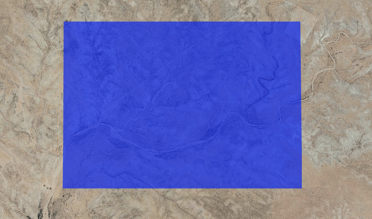
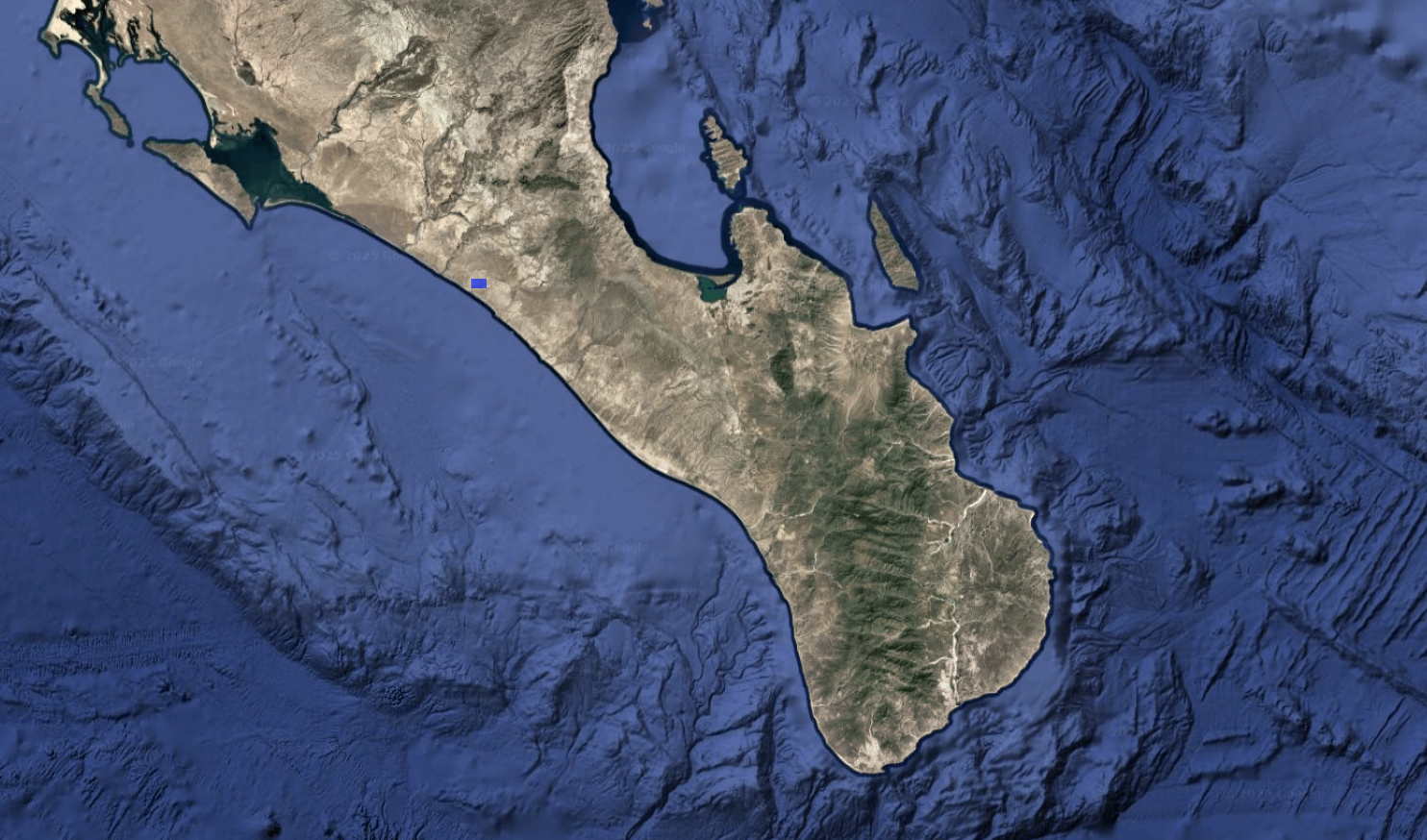
At Modo Isla, we’re redefining this process with our Groundwater Detection Model, a cornerstone of our all-in-one platform for sustainable land origination. This case study highlights how we transformed water sourcing for a 1,198-hectare site northeast of La Paz, delivering data-driven precision to optimize development.
The Challenge: A Costly and Time-Intensive Gamble
In water-scarce areas, securing reliable groundwater is essential, yet traditional methods are prohibitively expensive and slow. With exploration costs escalating for large land areas—often taking 10-14 months or more—and failed drillings adding up, developers face uncertainty that can halt progress. Modo Isla was founded to address this, offering a scalable solution to revolutionize land assessment and master planning.
This case study details our solutions and methodologies to address this and other challenges.
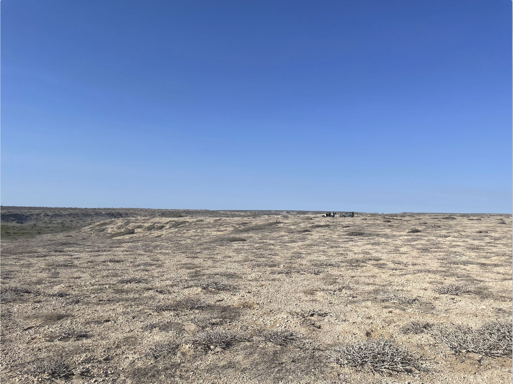
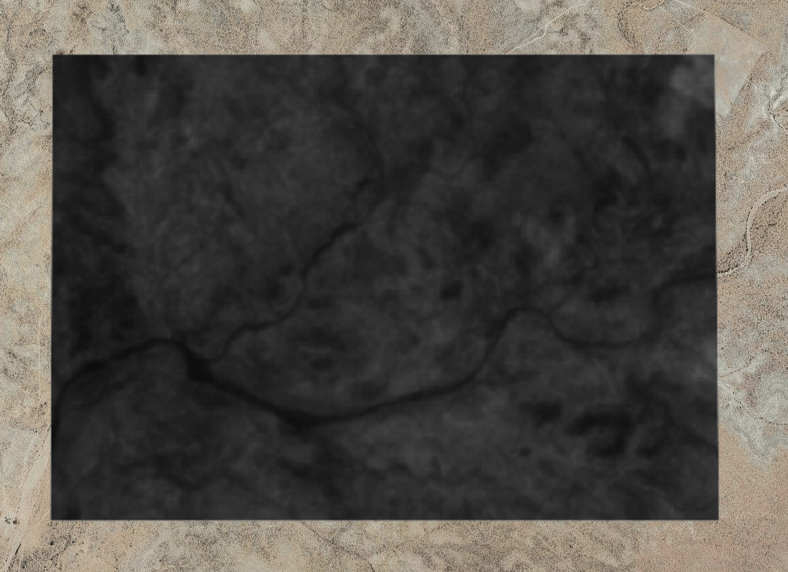
1,198 hectare site northeast of La Paz, Baja California Sur
Our Solution: Precision Through Satellite Intelligence
Our proprietary Groundwater Detection Model, integrated into Modo Isla platforms - LandStack - and - HydroX - , leverages satellite data embeddings to predict underground water locations. The model boasts a 95.45% precision and 98.12% recall, trained on over 500,000 total points across Baja California Sur (with over 35,000 ground-truth points for validation), including existing wells and failed drilling sites.
For the La Paz project, this technology transformed complex satellite signatures into actionable insights, setting a new benchmark for resource optimization.
Step-by-Step Methodology
1. Area Definition and Grid Analysis: We defined a 1,198-hectare polygon northeast of La Paz, encompassing diverse topographies from coastal plains to elevated terrain for comprehensive analysis.
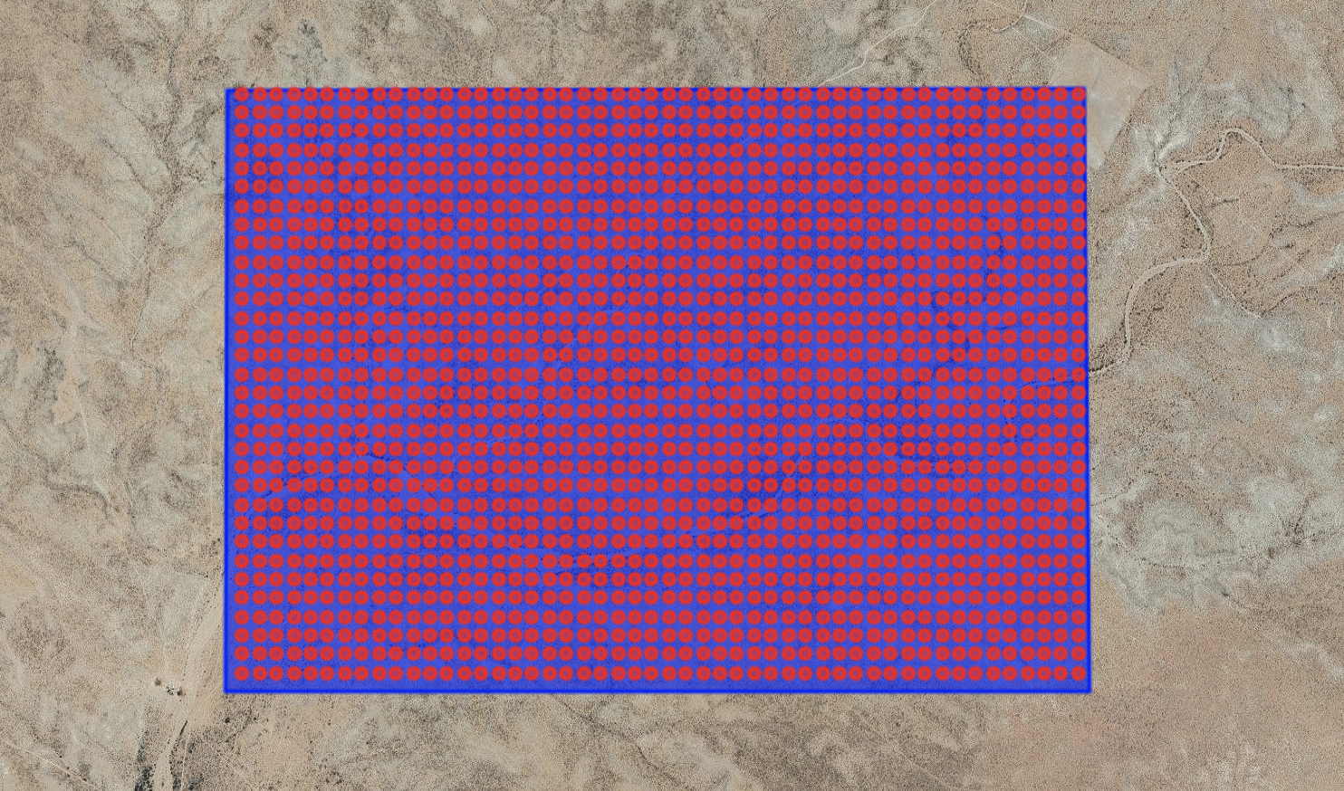
2. Point Cloud Generation: Our platform automatically generated 7,716 analysis points with a 20-meter buffer radius, covering 98.5% of the area with high-resolution precision—unfeasible with traditional methods.

3. Satellite Data Extraction: Using a decade-long of multi-spectral satellite data (2014–2024), we processed imagery into 80-dimensional feature vectors to reveal surface and subsurface patterns, as well as temporal land stability.
4. Temporal Stability Analysis: Dot product analysis confirmed exceptional land stability over eight years, ensuring reliable long-term water access.
5. Machine Learning Prediction: Our algorithm, trained on validated sites, identified subtle characteristics, assigning probability scores with 95.45% precision and 98.12% recall.
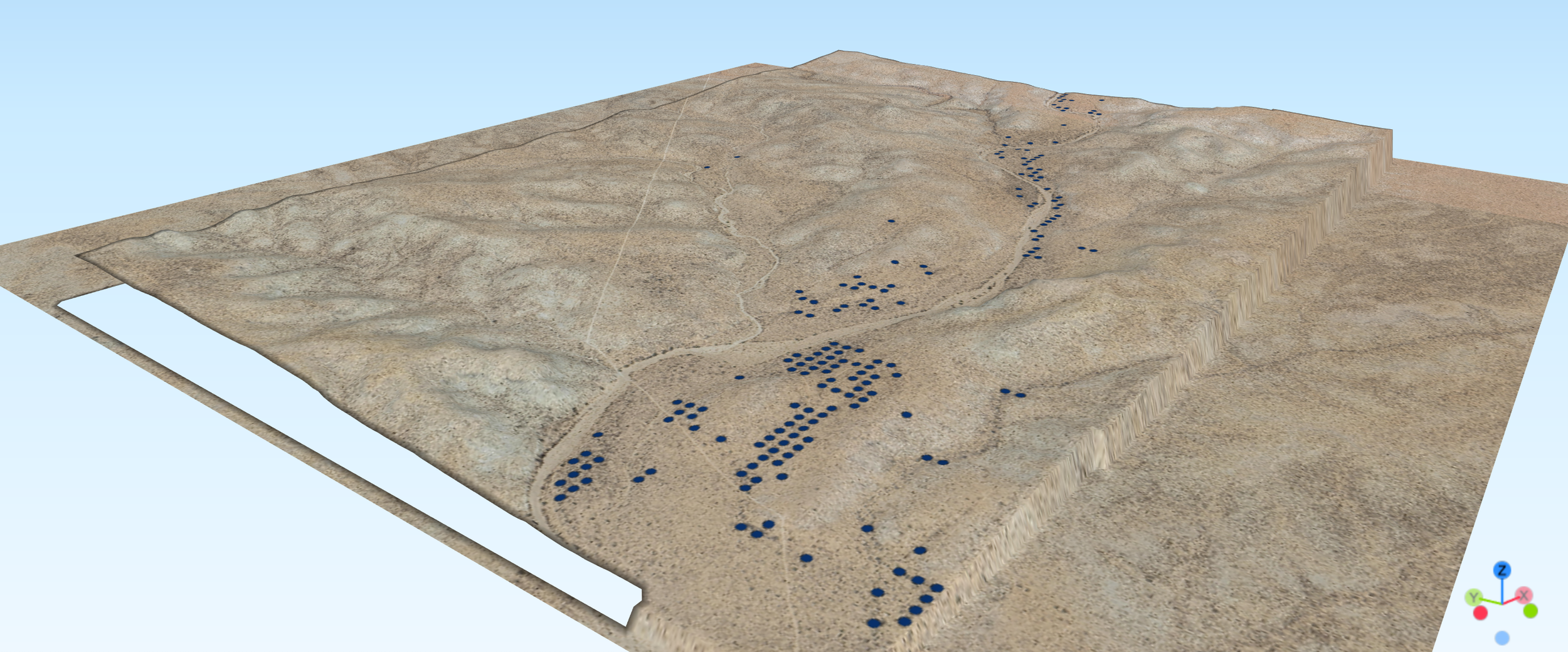
6. Results Visualization and Priority Ranking: Probability maps highlighted water-bearing corridors, with the top 2% of locations exceeding 99.9% confidence. These points are automatically validated against Topographic Wetness Index, NDVI, and NDWI, our predictions aligned with hydrogeological principles, offering unmatched resolution.
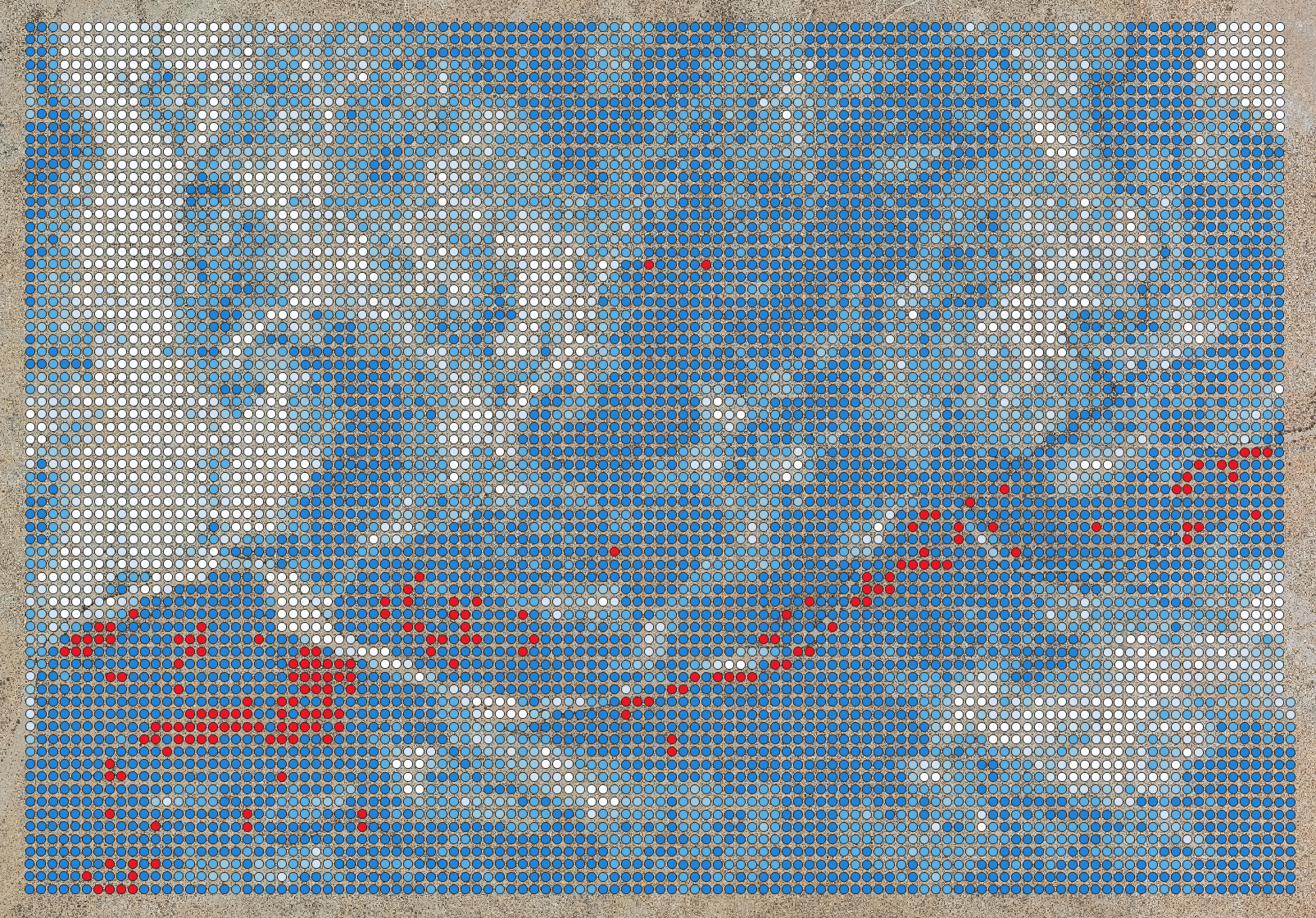
HydroX Probability Map extract - High confidence points highlighted in red
Results: Revolutionizing Exploration
This case study delivered transformative outcomes:
Processed 7,716 analysis points across 1,198 hectares in just one week—versus 10-14 months traditionally.
Identified high-confidence drilling targets, reducing exploration risks and leverage design and urbanization teams early on.
Saved over $200,000 USD* in exploration costs across the study site.
Uncovered wells capable of supplying over 250,000 m³/year of water for sustainable use.
Our platform deliverables include detailed probability maps, 3D topographic visualizations, downloadable GIS files, coordinate lists, and more multidisciplinary studies spanning - Hydrology, Temporal Analysis, Vegetation, Climate and Topography - empowering strategic decision-making.
*Estimate calculated from average exploration and drilling costs for the region
Why It Matters: A Sustainable Breakthrough
Modo Isla’s approach yields significant advantages:
Cost Efficiency: Eliminates the need for extensive traditional point cloud analysis, saving up to 90-95% on exploration costs for large land areas.
Optimized Design: Identifies ideal water clusters early, enhancing development design and master planning across real estate and agriculture sectors.
Risk Mitigation: Reduces failed drillings by targeting high-probability zones with required flow and depth.
Environmental Stewardship: Avoids heavy machinery in biological corridors and key aquifer recharge zones, ensuring sustainable water flow for years to come by preserving recharge areas.
Timeline Acceleration: Completes assessments in minutes, not months or years.
Looking Ahead: The Modo Isla Advantage
Modo Isla goes beyond underground water detection, integrating water stewardship with energy solutions and environmental optimization. This early 2025 case study fuels the productization of our HydroX and LandStack platforms, with ongoing pilot testing to refine solutions and expand capabilities by late 2025. Pilots have spanned real estate development master planning and agriculture/cattle ranch applications, demonstrating versatility.
Call To Action
Ready to optimize your development project?
Contact our team to explore how Modo Isla’s satellite intelligence can drive sustainable success. Reach out at info@modoisla.com