
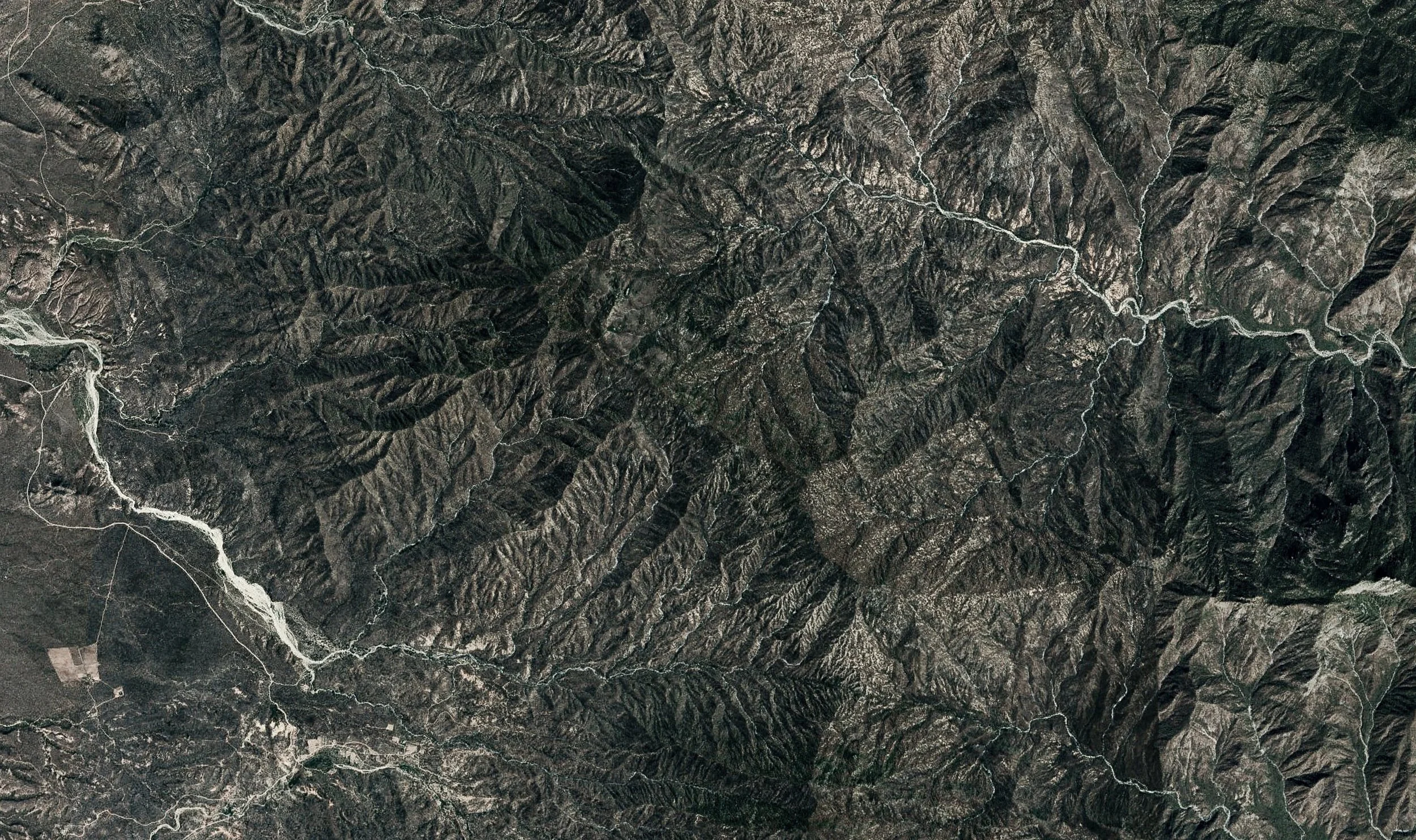
Territorial intelligence to make better land decisions.
We integrate satellite data, AI-driven analysis, and interactive maps to reveal risks, resources, and opportunities—before you commit.
(+)
Understand land from the sky, in high resolution.
We reveal how territory works by reading its hidden layers—water, terrain, climate, and ecosystems—through satellite intelligence.
-
Identify watersheds, runoff patterns, flood risk, and underground water dynamics to understand water movement and accessibility across the territory.
-
Analyze land characteristics to evaluate buildability, accessibility, and spatial constraints, powered by high-precision data with up to 50cm topographic and 15cm imagery resolution.
-
Identify heat stress, fire exposure, and extreme weather vulnerability to anticipate and mitigate long-term climate pressures.
-
Analyze vegetation cover and land-use patterns to understand ecological dynamics and environmental sensitivity.
-
Accessibility, infrastructure proximity, energy-water potential, and more territorial patterns at scale to inform system design and zoning.
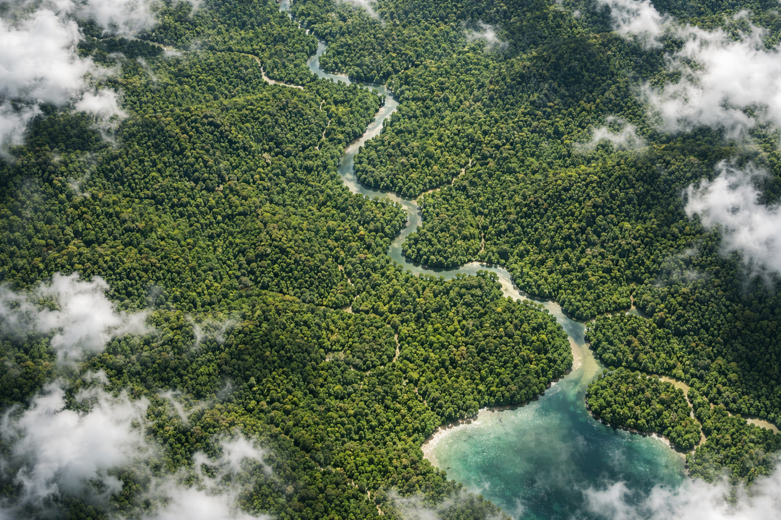
WATER INTELLIGENCE Understand Water Before You Plan
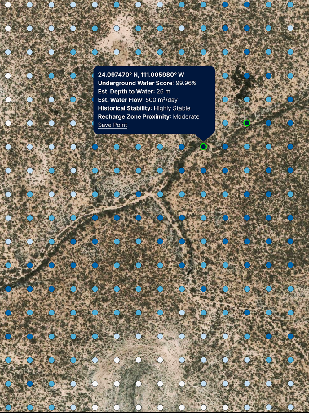
Modo Isla’s water analysis reveals where water exists underground, how much may be available, and how it flows across your land—using advanced satellite imagery, machine learning, and hydrological modeling.
-
Identify aquifer zones and groundwater signatures before field surveys or drilling—reducing uncertainty and exploration risk.
-
Get a sense of how much water a site might hold and how it moves through the landscape, informing irrigation, extraction, and long-term planning.
-
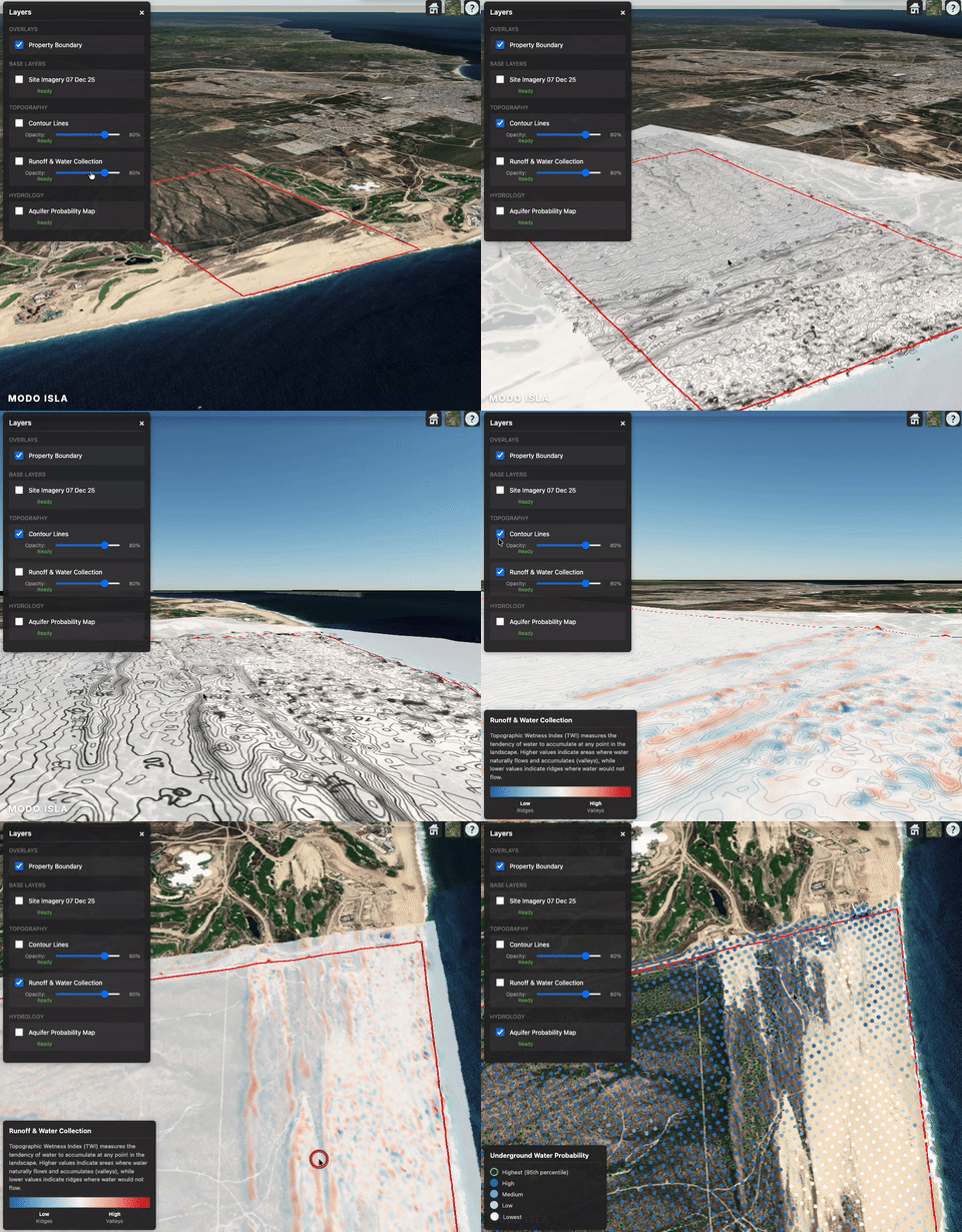
See how rainfall and runoff travel—where water accumulates, where it moves quickly, and where saturation might create risk. This helps with drainage, erosion planning, and sustainable design.
-
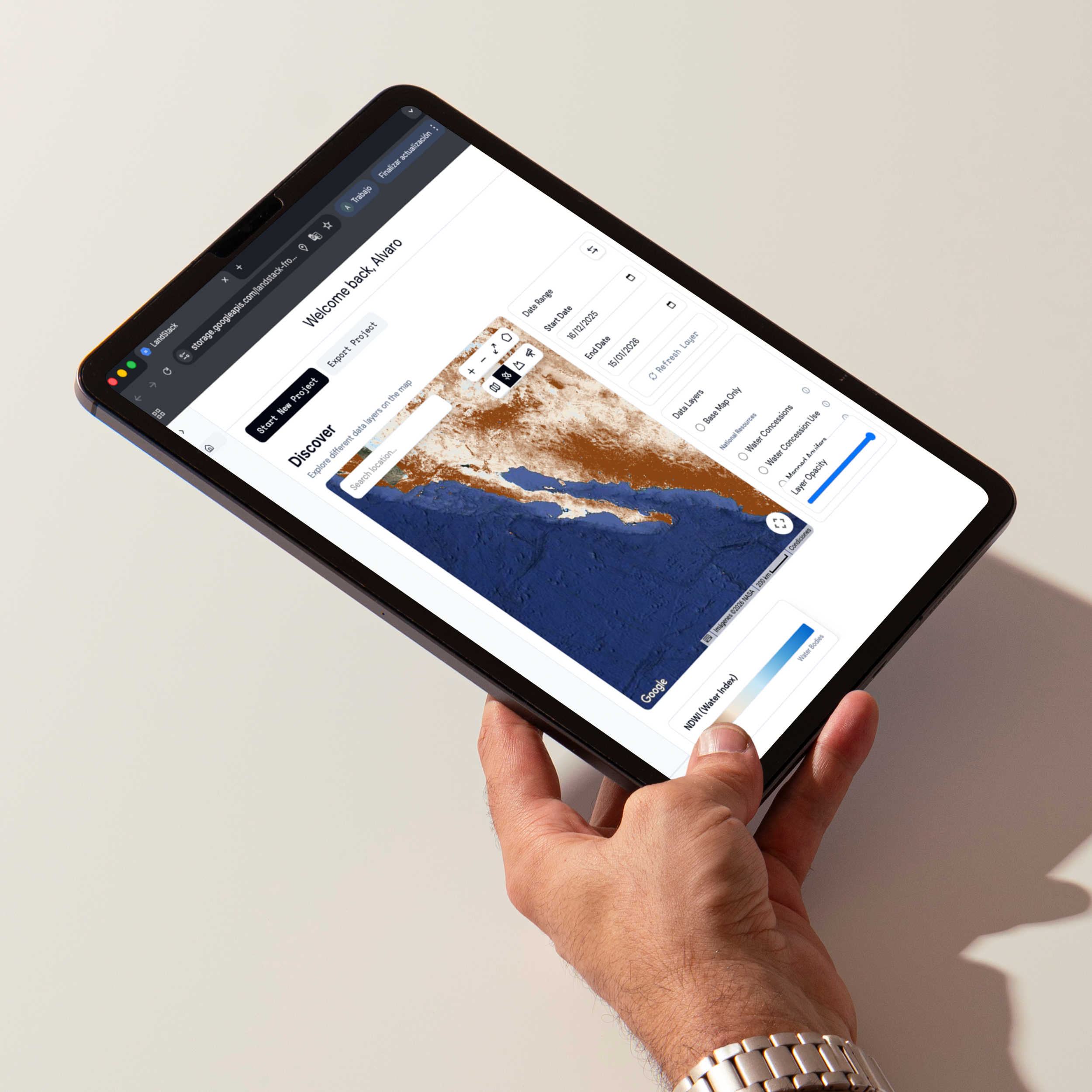
Explore water data visually alongside terrain, vegetation, and climate layers—so insights are immediately actionable and understandable.
(+)
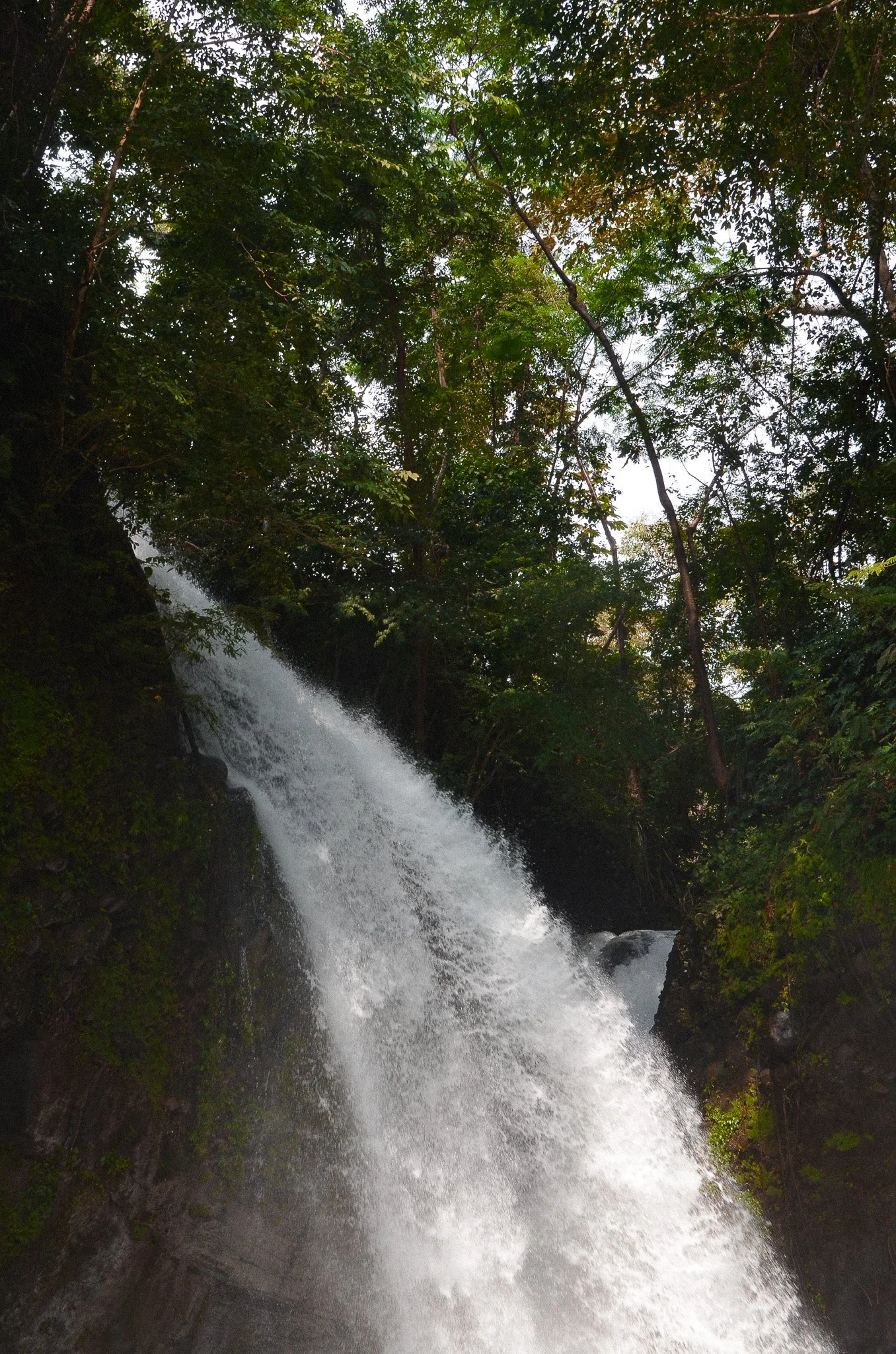
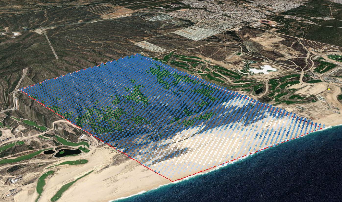
By integrating high-resolution satellite data, environmental analysis, and AI-driven insights, Modo Isla makes territory legible. It reveals how land systems behave over time—how water moves, how climate stresses accumulate, how ecosystems respond, and where human impact creates risk or opportunity.

We integrate multiple satellite data sources and apply AI-driven analysis to address any challenge.
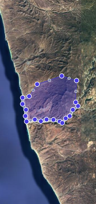
Modo Isla
delivers Decision-ready insights
We turn complex territorial data into clear, usable outputs designed for decision-making.
Every analysis is delivered as a set of tools that help you understand the land, evaluate risk, and act with confidence.
-
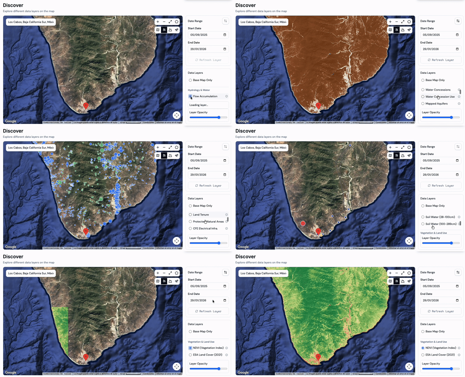
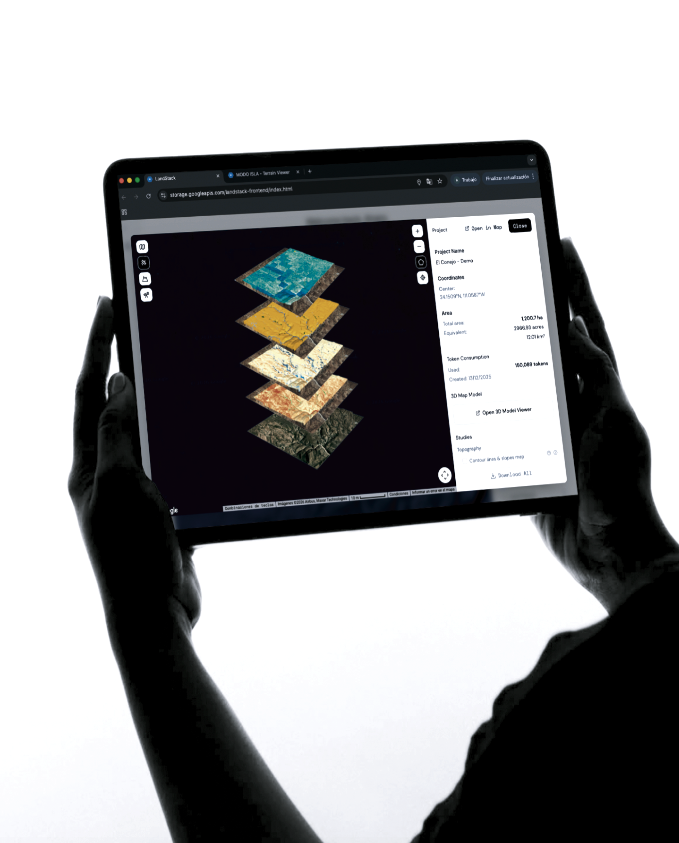
Explore layered satellite data to understand water systems, vegetation, climate exposure, infrastructure, and territorial patterns. All data is visual, comparable, and easy to navigate.
-
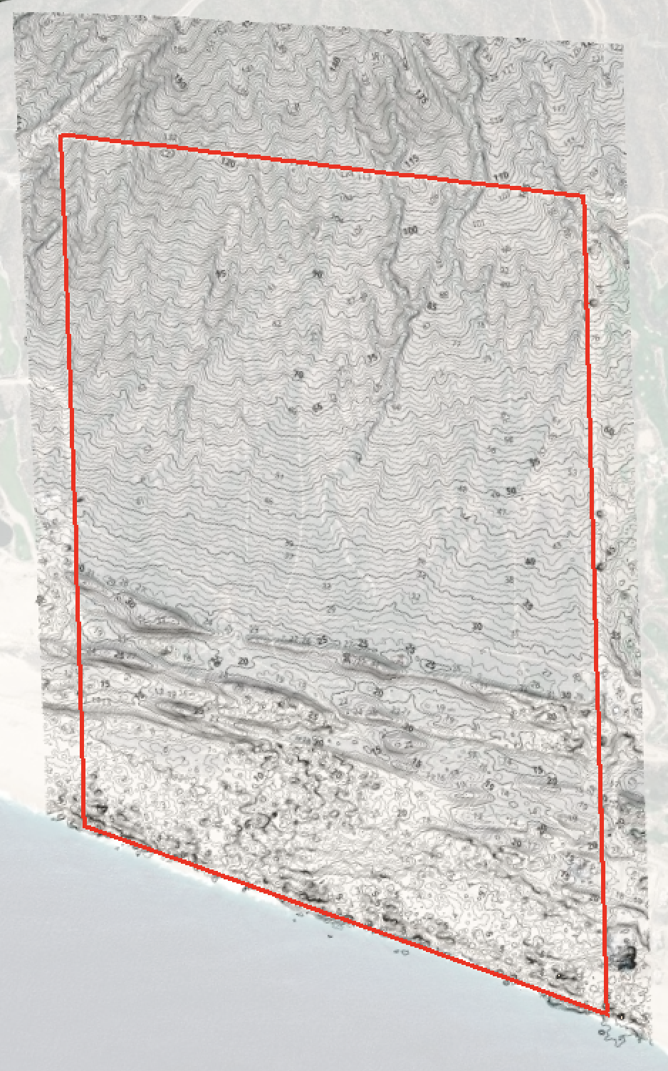
Visualize slopes, elevation, and terrain morphology to evaluate buildability, accessibility, and spatial constraints—using high-resolution topographic data, compatible with CAD workflows.
-
A concise synthesis of findings, key risks, and opportunities, designed to support investment, design, planning, or conservation decisions.
-
Every site is different. We adapt our analysis, data layers, and insights to the specific conditions, scale, and objectives of each project—so decisions are made with context, not assumptions.
Modo Isla
TAILORED ANALYSIS
Each site requires a contextual reading.
We create custom territorial studies that align decisions with environmental systems, risk patterns, and long-term sustainability.
-
We start from the question, not the tool. We analyze your site and constraints to generate targeted territorial insights that help resolve real planning, risk, and feasibility challenges.
-
Territorial data translated into economic context—supporting land valuation, risk-adjusted investment decisions, and opportunity assessment with spatial evidence.
-
Explore new areas and scenarios at scale. Identify patterns, resources, and constraints across regions to discover opportunities before others do.